
Find a Pontiac Street by Address
Begin with the physical location, not a person’s name. Oakland County’s parcel tools treat the parcel identification number, or PIN, as the durable key when a street name has changed or an address is incomplete. The first result may name an owner or show a mailing address, but neither result proves every person at the location. A solid Pontiac street directory trail keeps the situs address, PIN, legal description, record date, and each source together. That makes it possible to distinguish a title party, a tax recipient, a permit contact, and an historical directory occupant.
- Enter the address in Property Gateway, open the parcel result, and save the PIN, situs address, legal description, and map position.
- Pan the map along the Pontiac street and click each adjoining parcel only when its boundaries are clear. Record each PIN separately.
- Use the owner and legal-description context in the Oakland County Super Index to locate the latest recorded title instrument.
- For registered-voter information, use Michigan.gov/Vote only for a personal self-check or make the formal Qualified Voter File request allowed by state rules.
- For an older address, consult a reverse or criss-cross directory through local historical collections, then compare its year with deeds and census material.
That sequence is deliberately narrow. It follows an address from parcel to title and then to time-specific historical evidence instead of turning a block into a list of assumed residents.
Search Pontiac Parcels by Street
Oakland County Property Gateway is the main current parcel interface for Pontiac. Its landing search accepts a PIN or property address, requires at least five characters, and supports partial text, percent wildcards, and comma-separated PINs. Map navigation also lets a researcher click a property after zooming to the area. Basic map work is different from a purchased report or map product, and the county cautions that its municipal data can be classified and updated differently.
| Property Gateway control | Type | Use on a Pontiac street | Format or limit |
|---|---|---|---|
| PIN or property address | Text search | Find a parcel at a known location | At least five characters; partial, wildcard, or comma-separated PIN input |
| Map navigation | Map click | Inspect adjoining Pontiac parcels | Pan, zoom, then click a parcel |
| Reports and cart | Purchase controls | Request tax-parcel or property reports | Fee-based report paths and checkout |
| Print the Map | Output control | Choose a map-print option | Immediate print, PDF, pickup, or delivery choices appear in the service |
The result is most useful as an address anchor. Save the physical address and PIN before following the owner’s name. An owner mailing address can point outside Pontiac, and a homestead classification, if present in municipal assessment data, is not a complete household list.
Note: Property Gateway supports map navigation, but a public automated radius or neighbor-export tool was not documented in the official materials.
Use the map result to identify a parcel and its immediate context, then confirm title and occupancy evidence through separate records.
Read Pontiac Street Parcel Maps
Property Gateway and Oakland County Mapping Services turn a street name into a map of separate parcels. The available map context includes parcel and property maps, current and historical aerial imagery, elevation contours, and FEMA flood information. Zoning, municipal boundaries, school, flood, and topographic context can appear through map products, although exact layer names can change. A map answers how parcels touch. It does not identify a social group or establish who currently occupies every door.
For a Pontiac street with a directional prefix, preserve that prefix exactly. E/W Pike, E/W Huron, N/S Saginaw, and N/S Perry are distinct historical forms. The same care helps with Franklin Boulevard, Woodward Avenue, Baldwin Avenue or Road, Telegraph Road, Elizabeth Lake Road, Pontiac Lake Road, Joslyn, and Cesar E. Chavez Avenue. The official research did not locate a citywide renumbering chronology, so old numbers should be bridged with legal descriptions, adjacent entries, OCPHS street research, and the Arrow Street Guide instead of assigning an unsupported conversion year.
A Pontiac street directory therefore needs more than a ZIP or mailing-city label. Record the municipality, postal city, ZIP, PIN, and legal description together. Pontiac’s borders meet Auburn Hills, Lake Angelus, Waterford Township, and Bloomfield Township, so a nearby postal label may not establish the physical municipality.
Pontiac Street Records at a Glance
Address-keyed sources answer different questions. The parcel record identifies the land unit; the deed index records title transfers; a municipal permit describes work or enforcement tied to a location; and a historical reverse directory can associate a house number with an occupant in its publication year. Read them as a chain, not as substitutes for one another. The table keeps the limits visible while showing the documented channels for each record type.
| Address record | What it can show | Pontiac access channels | Key limit |
|---|---|---|---|
| Property Gateway parcel | PIN, situs address, map, report context, nearby parcels | Online address/PIN search and map click | Reports or maps may cost; municipal data varies |
| BS&A property or permit record | Name, address, parcel, permit, enforcement, certificate, inspections | City BS&A search and Building Department record-number route | Current field order and historical cutoff were not located |
| Super Index and Tract Index | Grantor, grantee, date, reception number, liber/page, legal description | Online index; Tract Index; Register of Deeds counter, mail, and Records Retention | Online document path begins January 1, 1964 except subdivision plats |
| Qualified Voter File | Statutory public voter fields where allowed | Formal state request by geographic scope; Michigan.gov/Vote self-check | Not a casual name-by-street directory; protected fields stay withheld |
| Criss-cross directory | Historical address-to-occupant or business entries | OCPHS, library, and selected historical collections | Selected years, not a current roll |
| Code or permit file | Location, date, responsible party, case or permit details | City record route or lawful FOIA request | Responsible party may not be owner or resident |
A parcel is the practical join between these sources. It is also why a legal description matters when address formatting changes: a lot, block, subdivision, condominium unit, or metes-and-bounds description connects the property record to the title file.
- Parcel
- A defined piece of land identified by the county property system, often through its PIN.
- Situs address
- The physical location of the parcel, which can differ from an owner’s mailing address.
- Plat
- A recorded subdivision map that organizes lots, blocks, streets, and other land divisions.
- Criss-cross directory
- A historical directory arranged by street and house number instead of surname.
Trace Pontiac Title Along a Street
The Oakland County Super Index supplies the online path for recorded documents from January 1, 1964 forward, except subdivision plat maps. Search the current owner as a grantee with the legal description or PIN context, locate the latest deed, then search the preceding seller as an earlier grantee. A grantor transfers an interest; a grantee receives it. Do not rely on address text alone for older instruments, because the legal description is the title identity.
When the chain crosses the online cutoff, move to the Register of Deeds, Records Retention, or a written and in-person request. The Tract Index distinguishes old acreage or metes-and-bounds records from subdivision lots and condominium units. The county also lists Super Index, Property Records Notification, Acreage Books during the transition, the Grantor/Grantee unit, and the Real Estate recording counter as land-record channels. Online indexed searching is free, while copies, subscriptions, maps, and certification follow separate options.
| Deed-index field | What to record |
|---|---|
| Grantor and grantee | Party spelling and seller or buyer role, including possible business-name variation |
| Recording date and reception number | When the instrument entered the public record and its county identifier |
| Liber/page and legal description | Book-page placement and the land description that ties the instrument to the parcel |
| Price and image path | Consideration when disclosed, plus the copy or order route; not every image is claimed to be free |
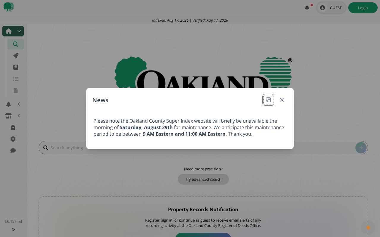
The Super Index landing screen is the online starting point for a Pontiac deed trail.
A deed chain documents title transfers. Pair it with dated directories, census households, obituaries, or probate records before drawing any conclusion about prior occupants.
Pontiac Street Permit and Code Files
Pontiac’s BS&A service is the municipal route for property and permit context. Official city instructions direct a user to choose Building Department, select the Building Department Record Number route, enter a permit, enforcement, or certificate number, and search. Pontiac material also identifies name, address, and parcel-number searching for property information. A detailed access fee of $6 is noted for the payment or record-number path.
Permit and code files can help date construction, additions, demolition, trade work, inspections, notices, photographs, and a computer-assigned case number. They are not ownership transfers. Pontiac’s code materials also state that complaints may be anonymous and that complaint names are confidential except in litigation or FOIA circumstances. Treat that rule as a privacy boundary, not a lead for identifying a complainant.
Note: A permit date is an address-history clue, while a recorded deed is the source that documents a title transfer.
Pontiac Voter Data by Street
Michigan.gov/Vote lets a voter check their own registration status and clerk information. It is not a public bulk name-and-address search. A broader Qualified Voter File request follows the state’s formal election-data process instead. The request form allows one geographic scope, such as a county, jurisdiction, district, school, village, or ward and precinct. It also offers voting-history selections, but ballot choices are never public.
The form’s documented delivery choices are pickup, FTP, or mail. A requester supplies identity and contact information, then can request fields such as complete name, residential and mailing address where available, year of birth, registration date, voter status, voter ID, and permitted history or geographic codes. Submit the current form through the documented state route, including the Qualified Voter File request form, and confirm fee and delivery details before ordering. Driver or state ID, month and day of birth, phone, email, signature, SSN4, and protected addresses are withheld.
Pontiac Street Directories for Past Addresses
Historical sources give the street directory its time dimension. The address coverage table in Oakland research lists selected Pontiac directory runs from 1860–61 through selected years in 1935–62, plus reverse or criss-cross volumes for 1930, 1958, 1960, 1967–68, and later reported 1978–98. A criss-cross directory is an address-to-name index, unlike a conventional surname listing. It can place an occupant or business at a house number for one edition, not establish a present-day household.
Pontiac Public Library offers newspaper microfilm from 1835 to 2019 and date-specific staff searches. OCPHS maintains historical materials including directories, census and land or tax resources, house-history materials, obituaries, and local organization records. The historical volumes themselves are addressed in the Pontiac Directory Book; use that collection work when an address trail needs a dated household entry rather than a current parcel record.
Note: Match a directory year to the entry itself, because an address can change hands or use between editions.
Pontiac Street Names and Boundaries
Pontiac street research crosses several geographic layers. The county campus uses Pontiac 48341, downtown Saginaw and Perry examples use 48342, 48340 is another carrier ZIP, and the W. Huron post office uses 48343-9998. A mailing city and ZIP can differ from a parcel’s municipality or neighborhood label. For street-based work, preserve the direction, city, ZIP, PIN, and legal description rather than replacing them with one broad place name.
This matters most near municipal edges and in older material. Census research can place a family under a township or adjacent community label, even when later sources say Pontiac. Federal schedules through 1950 are public under the 72-year rule. Street, ward, county, and household members provide the extra context needed to connect one historical entry to the right Pontiac address.
Limits of Pontiac Street Lists
Street records do not reveal every person connected to an address. Public filings may omit renters and household members. Utility customer data, delivery records, and DMV address data are not public address directories. Sealed court, vital, and adoption records remain restricted, and Michigan’s Address Confidentiality Program protects qualifying participants through a substitute address and mail-forwarding arrangement. A parcel map shows land units, not a map of personal relationships.